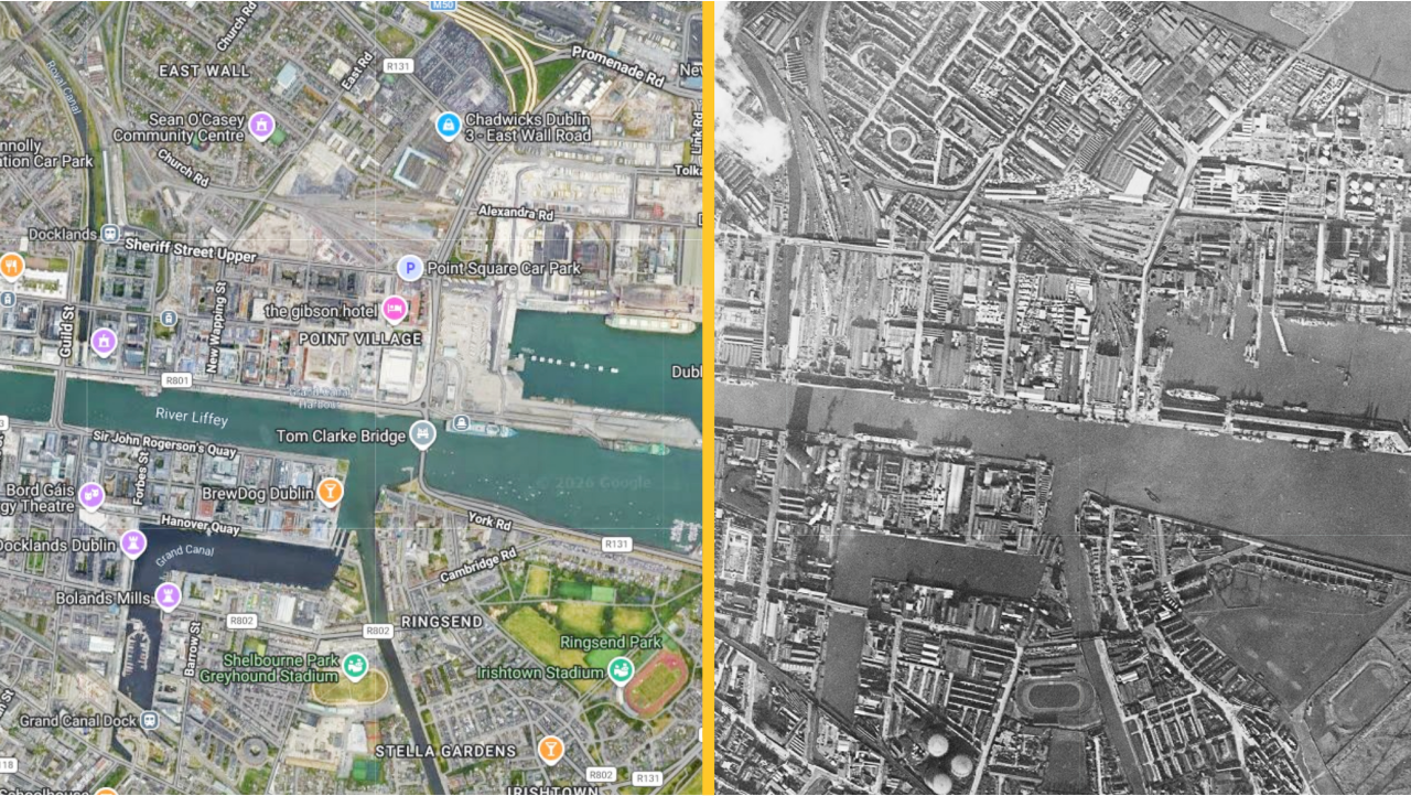
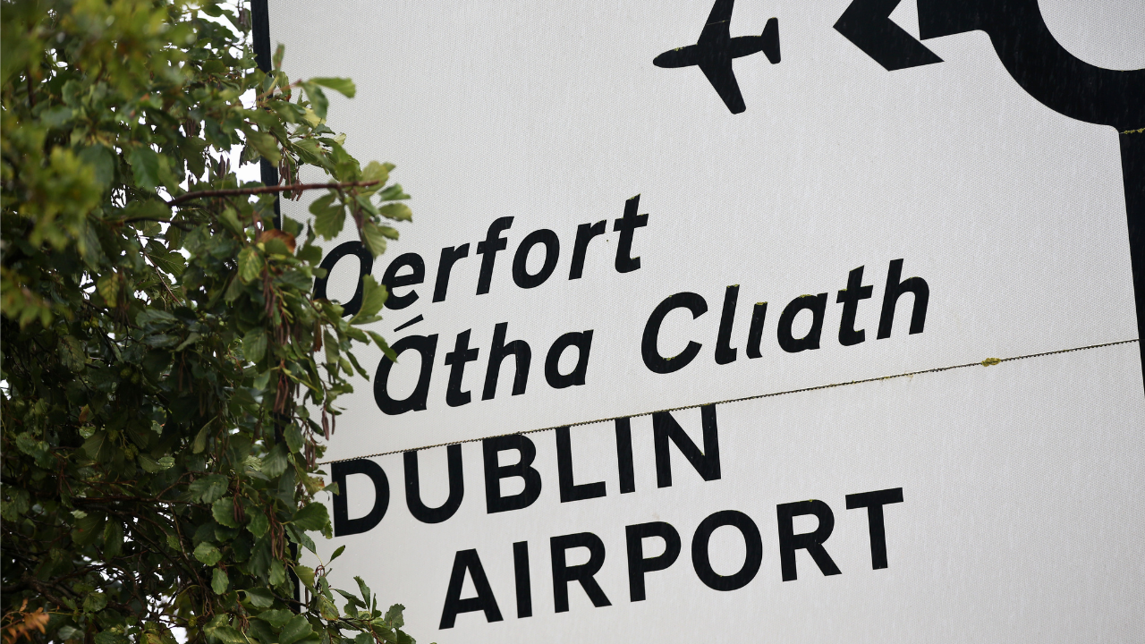
We could spend hours looking at this interactive '60s 'Google' map of Dublin
Everyone in the JOE office is obsessed with this.Did you know there is a website that lets you compare what Dublin looked like in the 1960s with how it looks now?This site is called SpaceFromSpace and utilises "historic Cold War era declassified satellite photographs, high-resolution spaceport imagery, and aerial images". This is so that users can look into the past and see how the world has changed since then.By typing Dublin into the site's search function, you can see visuals of the Irish capital captured on 19 February 1966 by KH-7, a reconnaissance satellite used by the United States from July 1963 to June 1967.To view these images and compare them to Dublin now, all you need to do is click the full-screen button and then zoom in, similar to how you would on Google Maps.Then you can use the transparency slider in the bottom right-hand corner to switch between the modern map and the old satellite imagery.While we here in the JOE office are absolutely addicted to this website, we have to note that America's reconnaissance satellite was no match for a giant cloud covering Dublin city centre that fateful day in 1966, making comparisons of this area to the modern day nigh on impossible.That said, here are some cool images of Dublin areas and landmarks now and how they looked in the '60s:Dublin DocklandsDublin AirportCroke ParkThe Lansdowne Road areaUniversity College Dublin


Comments (0)