
Remember me


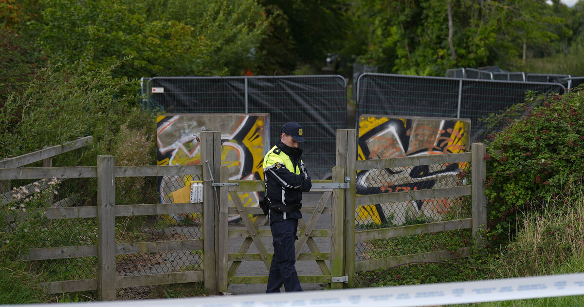


Three counties are under a Status Yellow rain warning as Ireland prepares for a wet weekend.
Met Éireann issued the warning for Donegal, Leitrim and Sligo on Thursday morning. It took effect at 10am and will remain in place until the same time on Friday.
The warning reads: "Spells of heavy rain with a chance of isolated thunderstorms. Potential impacts include localised flooding, poor visibility and difficult travelling conditions."
⚠️Status Yellow Rainfall Warning issued⚠️
Spells of heavy rain🌧️ with a chance of isolated thunderstorms⛈️
Localised flooding
Poor visibility
Difficult travelling conditions
Areas: Donegal, Leitrim & Sligo
Valid: Thurs 11/9 10am to Fri 12/9 10am
ℹ️ https://t.co/3041XHiRrK pic.twitter.com/h7NvlRBopz
— Met Éireann (@MetEireann) September 11, 2025Thursday will be cool and breezy with sunny spells and showers, some heavy with isolated thunderstorms and hail possible. Temperatures will reach 13 to 16C.
The evening will bring clear spells and showers, with further risk of thunderstorms. Showers will become confined to western counties overnight, with lows of 7 to 10C.
Friday will also be cool and breezy with sunshine and showers, some heavy. By late afternoon, more persistent rain will develop in the west and spread eastwards through the evening. Temperatures will again remain below 16C.
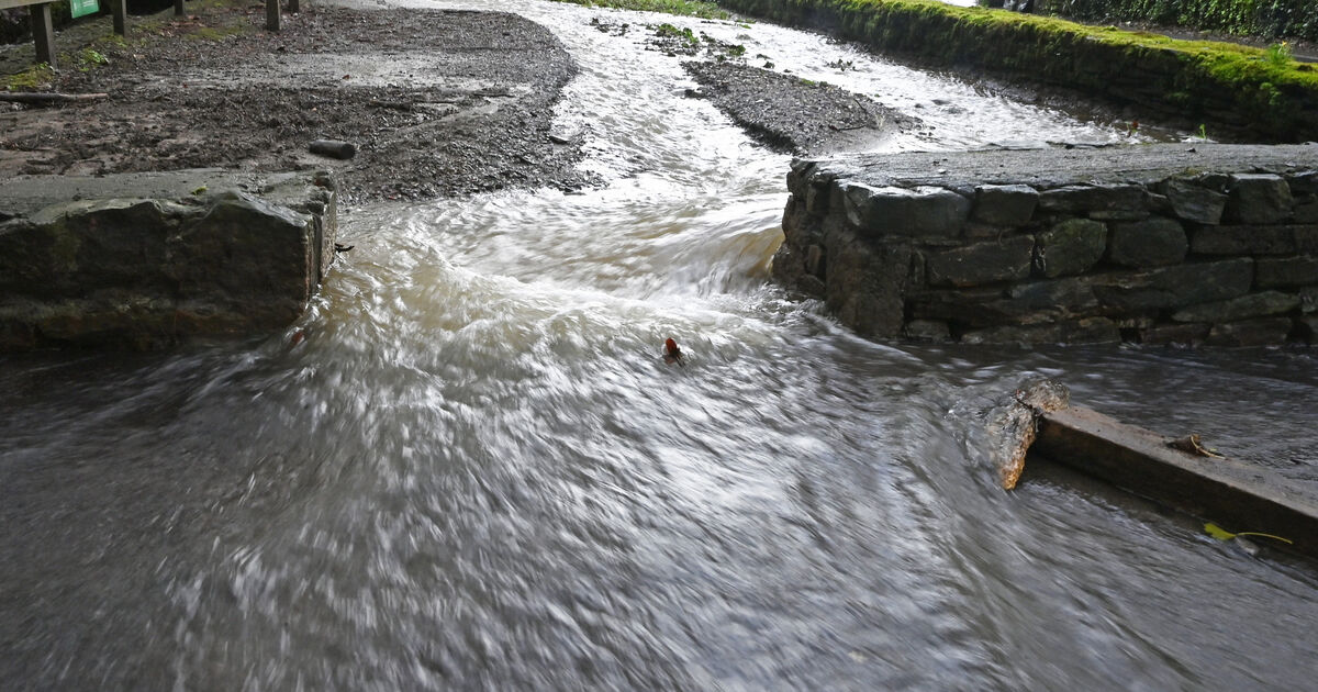
 Saturday appears to be the worst for rainfall, per the Met Éireann charts. Picture: Met Éireann
Saturday will bring a mix of sunny spells and scattered heavy showers, while on Sunday morning, rain will spread northeast across the country with fresh southeasterly winds.
Earlier this month, Met Éireann announced the list of storm names for the 2025/2026 season, which began on September 1.
More than 10,000 suggestions were submitted by 4,137 people, reduced to seven Irish contributions included in the 21-name list.