Rare weather event to spark nationwide warning as heatwave set to break records
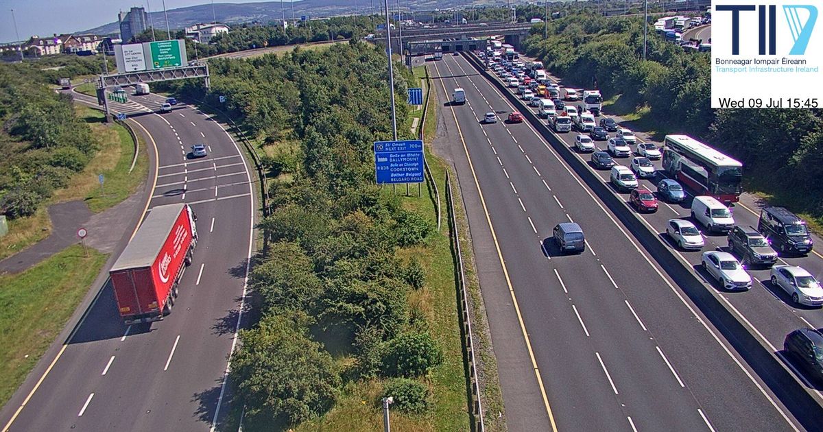
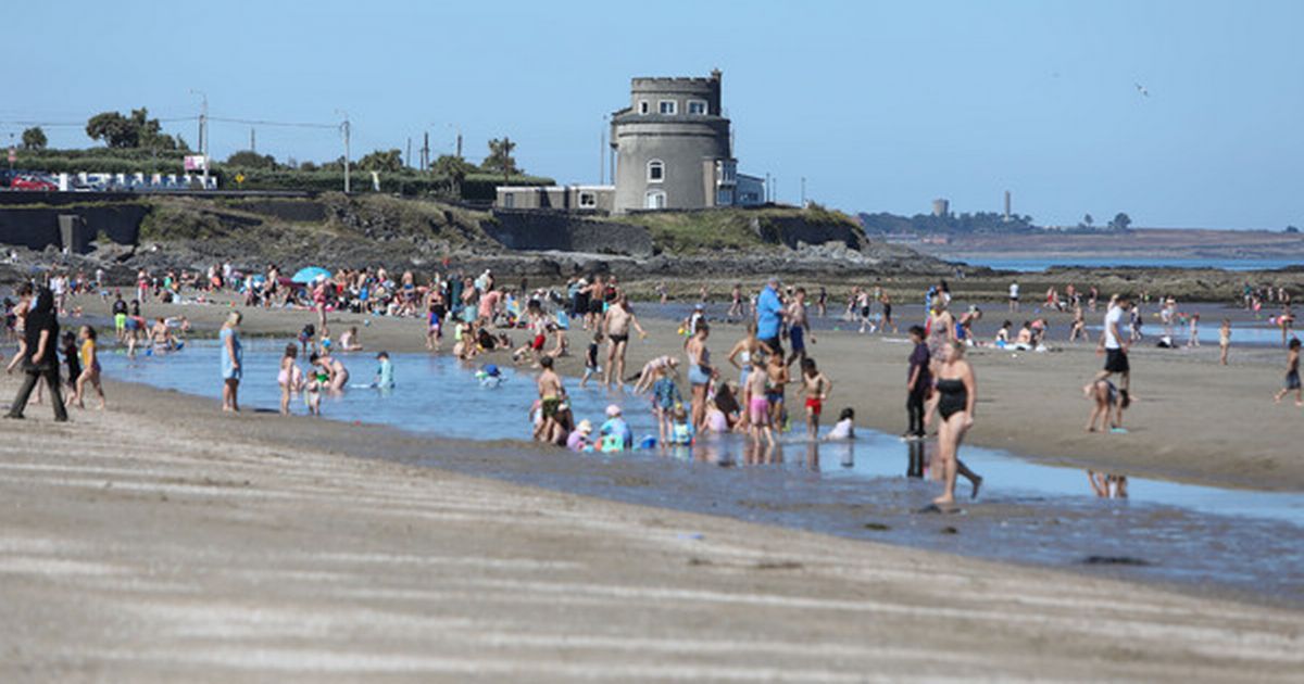
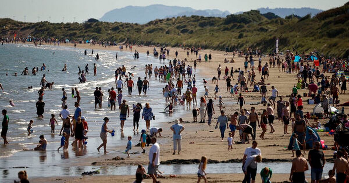
Met Éireann is set to declare a high temperature warning ahead of a 30C scorcher and record-breaking temperatures. The heatwave will prompt a Status Yellow warning within 24 hours as the State weather service analyses the "really hot" conditions. Mercury levels are set to climb from 25C on Wednesday and 26C on Thursday to as high as 30C on Saturday and Sunday before cooler air arrives next week. Met Éireann, which provides temperature forecasts for readings in the shade, warns that real-feel values are up to 15C higher in direct sunlight, so a forecast for 30C in Ireland this weekend could feel like 45C. Top meteorologist Liz Walsh spoke to the Irish Mirror about the high temperature warning and the likelihood of an official heatwave. She also forecast that "records could be broken". Temperatures are due to be so warm that night-time values will not fall below 20C, meaning Ireland is set for a rare spell of uncomfortable tropical nights. Warnings for babies, elderly, and kids outdoors in summer camps have already been raised due to the heat, humidity, and high UV levels. July 2021 was the first time ever Ireland experienced two successive tropical nights – when temperatures are above 20C. A single tropical night was an event that had previously only been recorded six times since digital records began 80 years ago in 1942. But Walsh indicated that areas in Leinster could see another rare occurrence of two successive tropical nights in the coming days. She said: "A warm weather, high temperature warning could be issued. It looks like the criteria for a Yellow warning will be met. That is maxima over 27C. A Status Orange would be temperatures with maxima over 30C for three days and I don't think we'll see that. "We might meet the criteria for minima of 20C over two nights, especially in the east on Saturday and Sunday, but we'll probably issue a Yellow warning. This is all due to high pressure that is centred off the Azores at the moment." Hot weather from Africa's western coast in the Azores is causing the temperature spike that follows life-threatening heat across Europe when record-breaking temperatures in the high 30s and mid 40s were experienced in countries like Spain, Greece, and France. Climate change scientist John Sweeney, an emeritus professor at Maynooth University, studied five previous heatwaves in Ireland and found that 500 deaths amongst vulnerable people were attributable to the temperatures. Experts like Professor Rose Anne Kenny, head of Medical Gerontology at Trinity College Dublin, have previously warned in high temperature conditions that some people should not go out, keep the house shaded, drink water, bathe to stay cool and avoid alcohol to prevent killer threats like heatstroke. Agencies like the Road Safety Authority and Irish Water Safety have also warned of life-threatening situations from dangers like blinding sun glare and swimming in unsafe locations such as quarry pools. On Tuesday, Walsh said: "The temperature highs are building and we will see widespread sunshine. "Because the origin is from the Azores, which is the mid-Atlantic and not the continent, it means the temperatures are tempered, so the more extreme temperatures in excess of 30C and up to 33C are a little more unlikely." "It could be uncomfortable at night for vulnerable people, like babies and the elderly. Cooler air is on the way from early next week so that could cool conditions from Monday. "With that there is a risk of thunderstorms, but it doesn't look too crazy at the moment." Join our Dublin Live breaking news service on WhatsApp. Click this link to receive your daily dose of Dublin Live content. We also treat our community members to special offers, promotions, and adverts from us and our partners. If you don’t like our community, you can check out any time you like. If you’re curious, you can read our Privacy Notice. For all the latest news from Dublin and surrounding areas visit our homepage.


Comments (0)