Met Eireann sound 'thunderstorm' alarm before another 'unsettled' week in Dublin
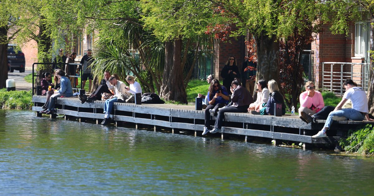
Met Eireann have sounded the thunderstorm alarm for today ahead of another unsettled week in Dublin. It will be a cloudy start to Easter Monday morning in the capital, with Dubliners waking up to some dry weather as the overnight rain clears. But it will come roaring back in the afternoon, with the national forecaster warning of "a few heavy showers possible and the chance of an isolated thunderstorm". Temperatures should get up to around 14C with some moderate westerly winds. We will see a break in the rain tonight, with long clear spells, and lowest temperatures of 3C. And the rest of Met Eireann 's outlook for this week isn't much better. Here is what their forecast says: Overview: Generally mixed and unsettled conditions but with some mild sunshine at times too. Tuesday: Some hazy sunshine to begin tomorrow, Tuesday, however it'll become mostly cloudy by the afternoon with outbreaks of rain spreading from the west. Some heavy downpours are possible through the late afternoon or evening. It'll become breezy in the afternoon too, with moderate to fresh southeast winds developing, increasing strong at times near the coast. Highest temperatures of 13 or 14 degrees. Tuesday night: Rain and drizzle will gradually clear southwards on Tuesday night with most of the country becoming dry. Lowest temperatures of 5 to 9 degrees in a light to moderate northerly or variable breeze. Wednesday: Wednesday will be a brighter day overall with sunny spells, but scattered showers too. Highest temperatures of 13 to 16 degrees in moderate north or northeasterly breezes, becoming mainly light in the evening. Dry and clear Wednesday night, though some mist and fog will develop in places. Lowest temperatures of 3 to 7 degrees in a light easterly or variable breeze. Thursday: Thursday will be dry overall with sunny spells and just well scattered showers, once early mist and fog clears. It'll be cloudier in the southwest and west though, with patchy rain and drizzle there. Highest temperatures of 12 to 17 degrees, mildest further west, in a moderate east to southeast wind. Rain will become persistent in the southwest and west on Thursday night. It will be largely dry and clear further north and east but cloud will gradually thicken overnight. Lowest temperatures of 5 to 9 degrees, coldest further north in light to moderate southeast winds. Friday: Current indications suggest outbreaks of rain and drizzle will slowly edge northeastwards over the country on Friday with a clearance extending from the southwest during the afternoon and evening. Highest temperatures of 11 to 15 degrees, in moderate southeasterly winds becoming lighter southwest as the rain clears. Next Weekend: Drier overall with some sunshine as high pressure becomes a little more dominant. Still some light showers or patchy rain and drizzle about though, mainly across western and northwestern counties. Join our Dublin Live breaking news service on WhatsApp. Click this link to receive your daily dose of Dublin Live content. We also treat our community members to special offers, promotions, and adverts from us and our partners. If you don’t like our community, you can check out any time you like. If you’re curious, you can read our Privacy Notice . For all the latest news from Dublin and surrounding areas visit our homepage.


Comments (0)