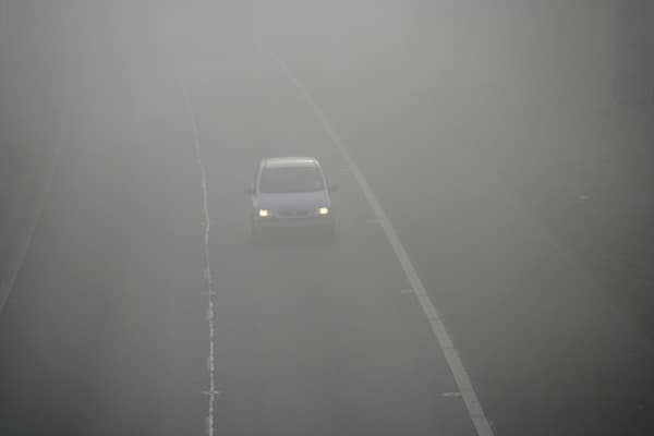
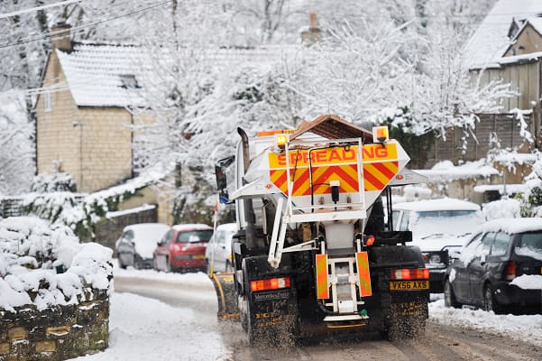
Over the coming week the weather will turn bitterly cold, which will deepen in the new year and there will be a mix of snow and ice as the Beast from the East is set to return.
In early January there will be a 713 mile snow bomb which will hit across the central part of the UK from the south up to Scotland.
The German Weather Service, DWD and the National Oceanic and Atmospheric Administration (NOAA) shows that Britain and Europe will be hist with snow storms from 8 January.
London, Oxford, Readings, Manchester, Birmingham, the Lake District and Glasgow will all be affected with up to one inch of snow every hour, the Mirror reports.
The forecast from WXCharts says, “High pressure is likely to be centred to the west or northwest over the North Atlantic through this period with low pressure to the east.
“Slowly evolving weather patterns are therefore most probable through this time. However, around the turn of the year, an area of low pressure may move through the North Sea bringing a period of wetter and windier weather, especially to the north. With cold air close to the UK, some wintry hazards are possible in places.
“Into January more settled conditions with colder and drier than average conditions are most probable. There will however be some periods of rain or showers and windier spells. Temperatures will probably be below average for this period overall and so wintry hazards remain a possibility in places.”
The Met Office has said there will be “low pressure to the east” in this period as well as low pressure moving through the North Sea, which could bring wintry weather.
The Met Office said, “With cold air close to the UK, some wintry hazards are possible in places.
“Temperatures will probably be below average for this period overall and so wintry hazards remain a possibility in places.”
A long-range forecast from the Met Office, from 1 January to 10 January says, “An area of low pressure moves through the North Sea at first, which leads to rain and showers spreading south across the UK. Thereafter, high pressure will likely be centred to the northwest with low pressure to the east, which allows a cold, showery, northerly flow to develop for a time.
“For many this leads to a fairly settled period but there will be some wintry hazards including perhaps snow to low levels to north facing coastal areas at times. Showers will likely spread further inland at times and there may be some windier periods with more prolonged rain, however on the whole it will be drier than average.
“Temperatures will likely be below average for much of the period though it may turn near average or above average later.”


Comments (0)