
Remember me


Federal documents show that the Department of Homeland Security signed waivers for 28 environmental laws to expedite construction of a Smart Wall within one of America's wildest national parks.

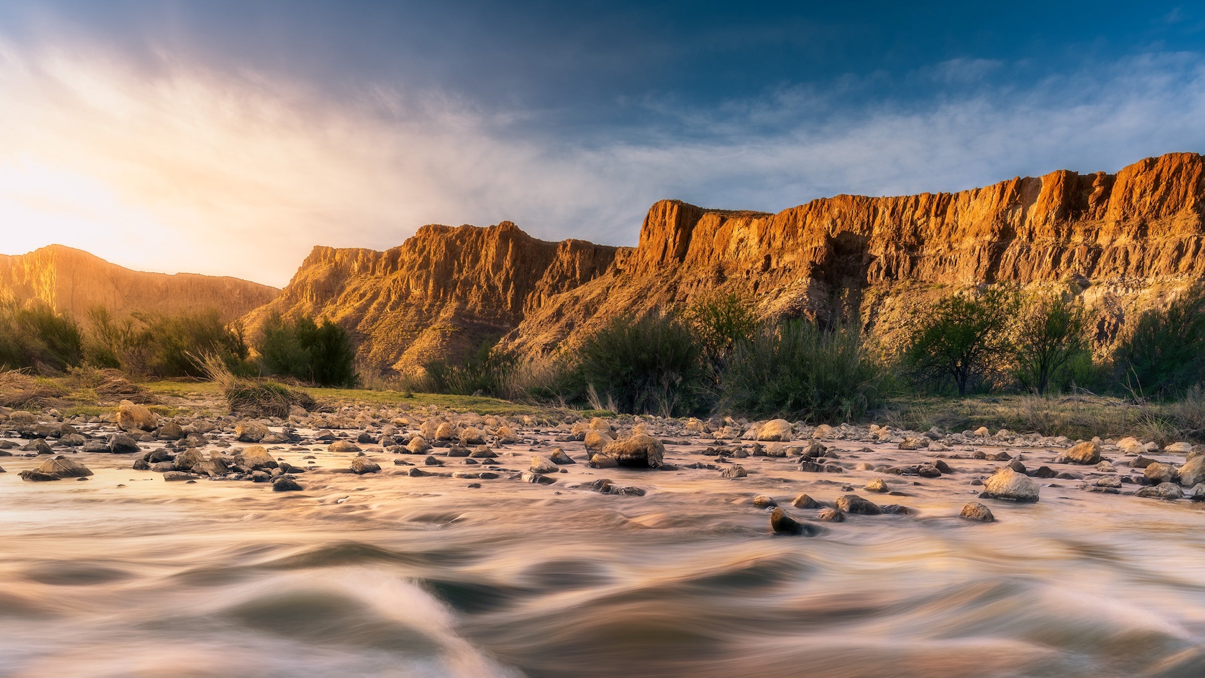
The Rio Grande in Big Bend National Park (Photo: Dean Fikar/Getty Images)
The Trump administration is planning to build a border wall along Big Bend National Park in Texas—and a newly updated prospective map shows its proposed footprint.
On February 17, Inside Climate News reported that the U.S. Customs and Border Protection (CBP) plans to install a new wall running along Big Bend’s southern edge, which shares a border with Mexico, by 2028. In a press release, the Department of Homeland Security (DHS) said the wall will help further secure the nation’s borders.
CBP posted a map of this new wall on its website, showing it extending from Southern California to the Gulf of Mexico. The agency calls the construction a Smart Wall and says it will include cameras, lights, and other detection technologies. The Smart Wall will extend beyond Big Bend as well—CBP plans similar construction along the entire U.S.-Mexico border.
At 800,000 acres, Big Bend is one of the nation’s largest national parks. It also shares an 118-mile international border with Mexico via the Rio Grande. Although the wall would largely run along the park’s southern rim, CBP told Inside Climate News that a portion of the wall is slated to be built inside parts of Big Bend and its neighboring state park, Big Bend Ranch.
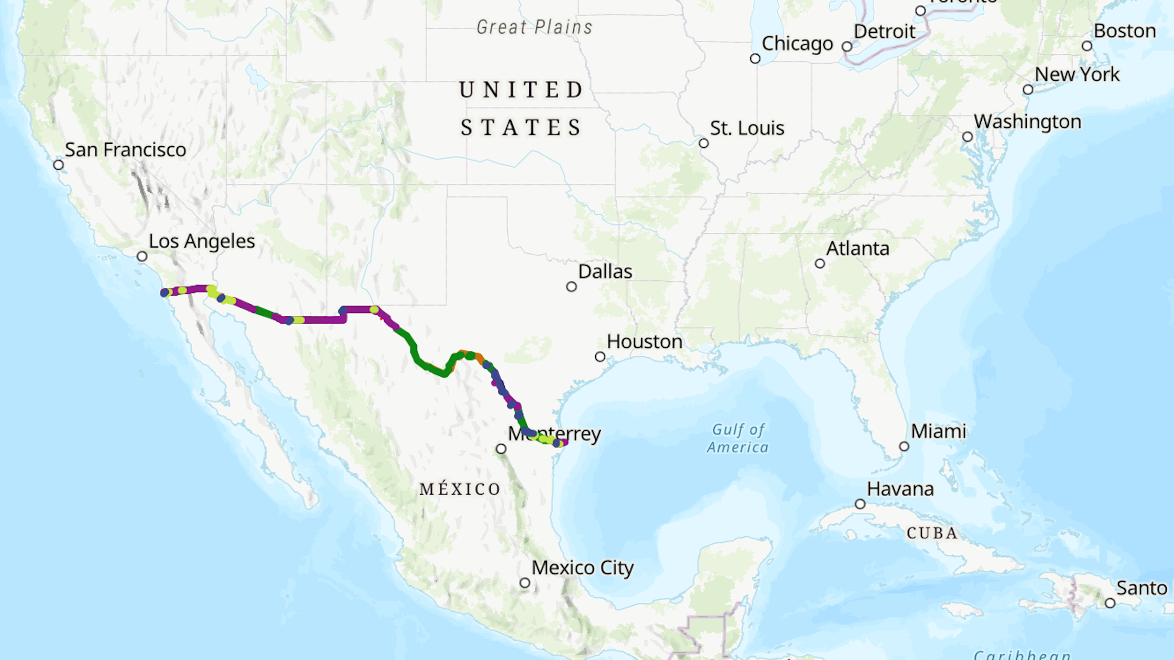 This map shows the current and proposed portions of the border wall (Photo: CBP)
According to documents publicly available in the Federal Register, on February 17, the DHS also signed waivers for at least 28 existing laws to move forward with plans to build the border wall. These waived laws include landmark environmental legislation such as the National Environmental Policy Act, the Endangered Species Act, the Clean Water Act, the Clean Air Act, and the National Historic Preservation Act.
DHS says it has awarded contracts for the project and says construction could last several years.
Some conservation groups, like the National Park Conservation Association (NPCA), are pushing back. They say the wall could impact local wildlife by cutting them off from the Rio Grande, a key water source, and disturb archaeological sites. Bollard walls can also act as dams during flash floods—like the one that occurred in Big Bend in 2025—trapping debris and causing severe erosion.
“Building a wall here makes no logistical sense and only serves to harm the region’s wild scenery and thriving community-based tourism economy,” said NPCA Texas Regional Director Cary Dupuy in a statement. “We need to look for border solutions that are as unique as our landscapes and communities. And we must ensure the solutions we find don’t destroy the national treasures we’ve committed to protecting.”
Comments (0)